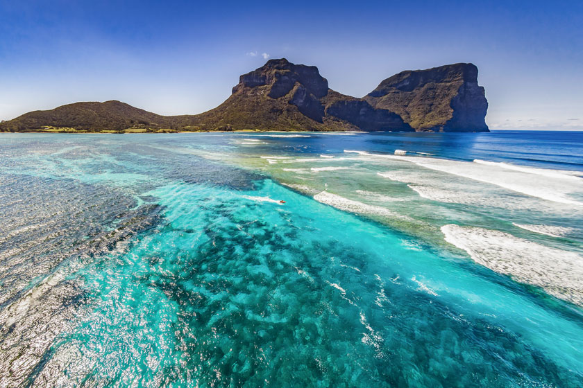
Towering 875 metres above sea level, Mt Gower is Lord Howe Island’s highest point. Besides being a beautiful geological feature to gaze at and a popular natural attraction, this mountain is one of the world’s highest-rated day treks.
Located at the southern end of the island, alongside its equally impressive mountain neighbour Mt Lidgbird, Mt Gower is an eight-hour return trek that comes with all kinds of exciting features, like rope-assisted climbs and vertigo-inducing drop-offs.
It’s hardly a casual hike but most climbers of any experience level will find it both fun and rewarding.
To reach the summit of Mt Gower, trekkers walk some 14kms around the base of the mountain, winding ever higher towards the peak. Along the way, you will pass some of the island’s rarest and most unusual plants and animals. The trail is well marked so there is rarely any doubt of coming off track during the ascent.
At the summit, trekkers are rewarded with a refreshing, misty forest environment filled with native creatures like the wood hen and other unique birds.
Best of all, there is a 360 degree panorama that rarely fails to drop jaws. The entire rugged island and its turquoise blue waters unfold beneath you.
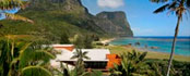
Since nearly all the island’s population lives at the other end of the island, climbing Mt Gower offers a great chance to experience the undeveloped natural side of the island.
Mt Gower is one of Lord Howe Island’s most iconic and most spectacular natural features, and definitely warrants a visit, if only to admire the jagged peak.
Several trekking outfitters are available on the island to guide you to the summit.
But this is a climb that is easily accomplished by those with some trekking, climbing or mountaineering experience.
 Points Of Interest
 Accommodation